Introduction
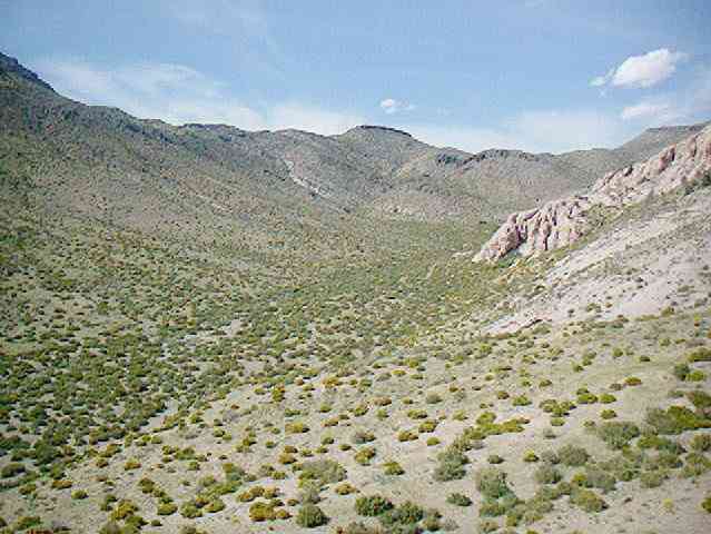
Welcome to the National Geospatial-Intelligence Agency's (NGA) High-Resolution Terrain Information (HRTI) Test Range web site. In 1998, the National Imagery and Mapping Agency (NGA's predecessor) ATTR (Advanced Technology Office) began building a high-resolution terrain site at the Nevada Test Site ( NTS) in the Nevada desert. The project was completed in August 2000. The requirement for higher resolution geospatial information within the armed services is leading to the development of a variety of new sensors. One component of HRTI is elevation data with greater density and higher accuracy than NGA’s Digital Terrain Elevation Data Level 2 ( DTED 2). This can have postings as dense as one meter, absolute accuracy on the order of a few meters and relative accuracy in the sub-meter range. New sensors are typically evaluated over test sites that are of significantly higher accuracy than the system being tested. An elevation test range adequate for testing HRTI systems did not exist. Consequently, NGA undertook the development of a 3km by 5km test range that will permit validation of new and emerging high-resolution sensors. The test range was built for NGA by the Department Of Energy Remote Sensing Laboratory ( DOE/RSL) on a part of the DOE Nevada Test Site (NTS) on which NGA surveyors created a dense grid of monumented control points. The test range was built using state of the art photogrammetric techniques. It has a post spaced every 0.5m. Individual points have an absolute accuracy on the order of a meter and a random error on the order of 10cm. It is anticipated that various users, both government and contractor, will use the range for testing their sensor systems. To date two organizations have used the site. The first a joint government and commercial consortium airborne system known as GeoSAR. GeoSAR flew in May 2000. The second organization was a commercial IFSAR system from Lockheed Martin Space Systems Company, Astronautics Operations in Denver. They flew the site in August 2000.
Use of the test site is available to U.S. Government and U.S. Government contractor organizations. Other organizations will be reviewed on a case by case basis. Access to the test site is, however, restricted by NGA and DOE personnel. A 1km by 3km truth data set is available as well for all users. To use the site please submit an e-mail via hrti@nga.mil.


