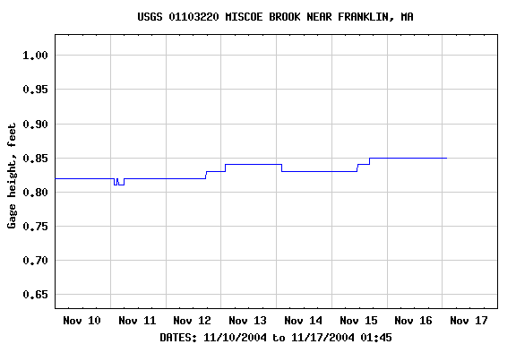
Discharge, cubic feet per second
| Most recent value: .59 11-17-2004 01:45 | |

|
|
| Download a presentation-quality graph | Parameter Code 00060; DD 01 |
| Current Flow | Minimum | Mean | Maximum | 80 percent exceedance | 50 percent exceedance | 20 percent exceedance |
|---|---|---|---|---|---|---|
| .59 | 0.20 | 1.01 | 2.3 | .52 | ||
|
Percent exceedance means that 80, 50, or 20 percent of all daily mean flows for 11/17 have been greater than the value shown. |
||||||